


Click on any image to see a larger version
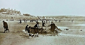

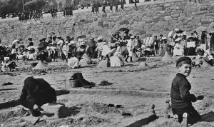
A sand castle competition

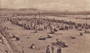
The beach in 1935 - the tide was in so no aircraft could land

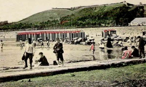
Bathing huts on the beach

Before the Marine Lake was constructed

Building sand castles at West Park

Bathing huts next to the pool

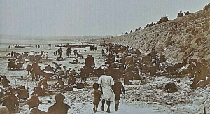
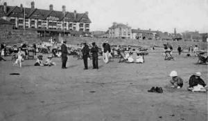
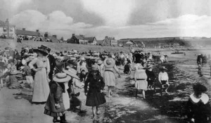
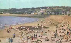
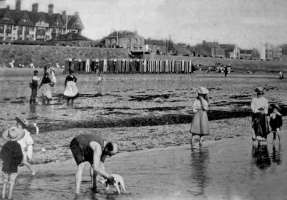
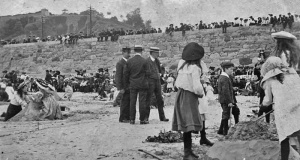
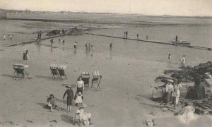
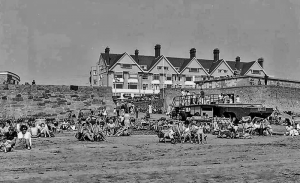
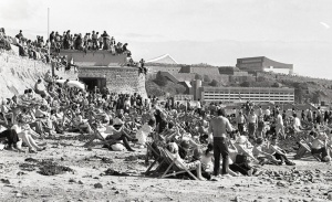
A crowded beach in the early 1900s

DUKW on the slipway

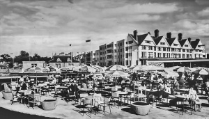
PT for holidaymakers in 1938


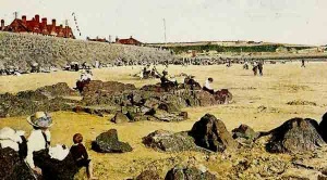
Donkey rides on the beach

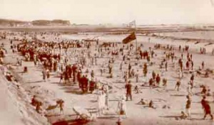
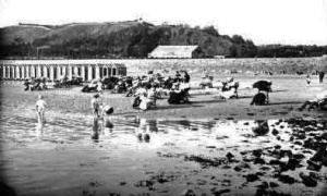
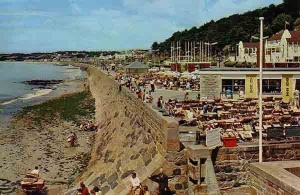
Looking west along a crowded beach

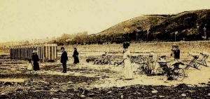
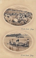
Collecting vraic with a horse and cart, in front of bathing machines

1957

High tide at West Park

Beach tents at West Park

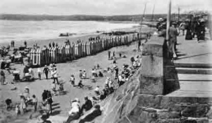
Bathing machines

Sitting down on the promenade opposite West Park Pavilion to write postcards in 1978

1945

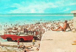
1960s


.jpg)


Picture by Percival Dunham

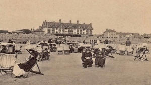
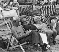
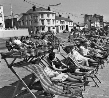
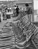
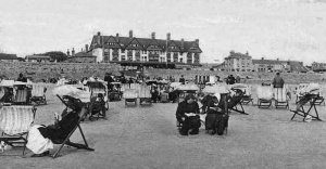
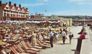
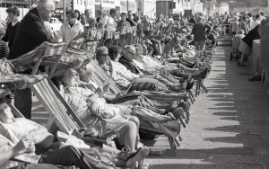
Deckchairs

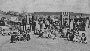
Children's corner

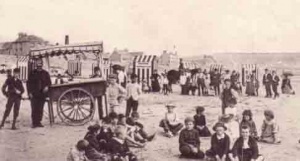
Sand castle competition early 20th century

Building sand castles

A sand castle building competition organised by the Daily Mail in 1930

Sand castle competition
DUKW on slipway operating service to Elizabeth Castle

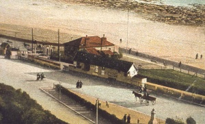
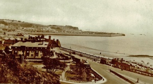
West Park in 1904

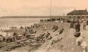
Bathing huts on the beach at West Park

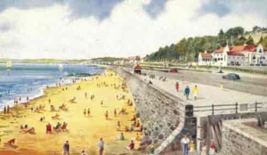
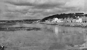
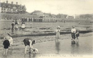
The beach at West Park

The beach at West Park

West Park beach

1905


Bathing machines

West Park in 1914

Gallichan's High Flyers, popular swings which were situated on the beach opposite the Grand Hotel

George Perry's Swings


.jpg)


Donkeys for children's rides

A DUKW on the slipway in 1972 returning with passengers from Elizabeth Castle at high tide

1950, from a tourism calendar

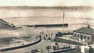
High tide at the slipway

1920

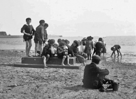
Children playing on the beach

Triangle Park in 1938 snow


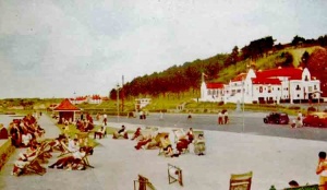
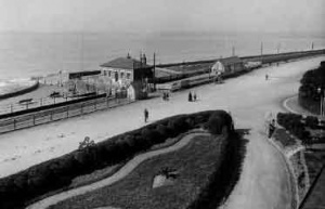
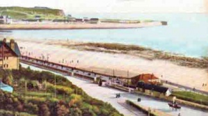
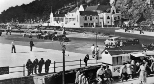
The Esplanade at West Park

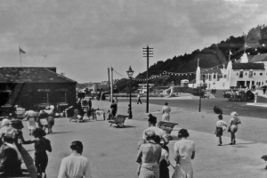
On the promenade

1950s

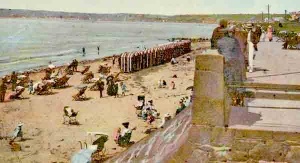
Ladies stroll along the promenade in their finery

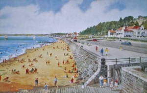
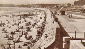
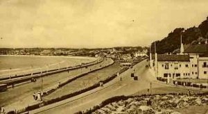
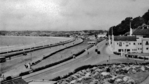
The promenade at West Park

1976

The cafe in 1939

The cafe in the 1950s

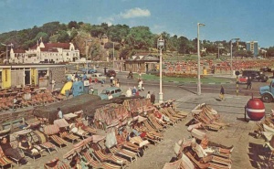
West Park in the 1960s

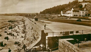
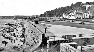
The sea wall in 1922

West Park Cafe in 1939

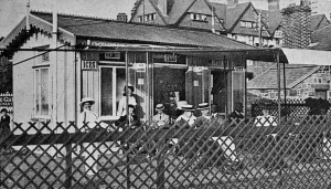
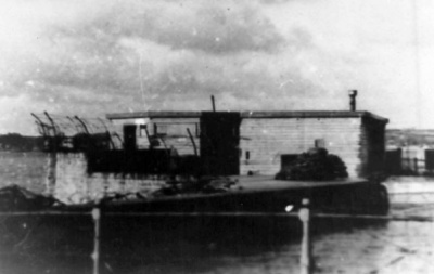
The Shack

Slipway cafe


About 1905

Picquet House

1976

1960


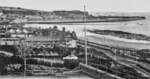
A 19th century view over West Park by P Godfray

Picture from the Grand Hotel by Albert Smith in the early years of the 20th century

A busy scene on the slipway

1952

1953

1950s

1955

1950s

Carriages passing through from Victoria Avenue

Liberation Day 1945

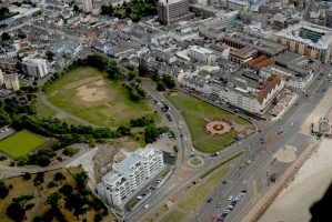
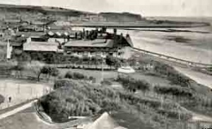
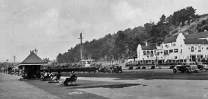
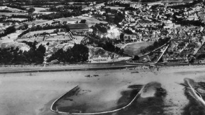
1933 aerial photograph

West Park in 1913

West Park in 1914

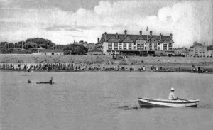
West Park in 1950

The Shack in 1936


An aerial view of West Park in 1947. The Pavilion is in the centre, with Triangle Park and the Grand Hotel to its right. Above the Triangle Park on People's Park the buildings erected during the Occupation as a delousing station for Operation Todt workers are still standing

West Park in the 1880s

View from the Grand Hotel in the early 20th century

A 1930s aerial photograph

1960

No traffic lights yet at the Victoria Avenue junction in the 1960s

1952

1912

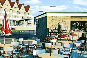
Cafe and kiosk

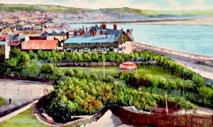
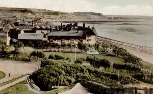
The Grand Hotel with the Triangle Park adjacent


.jpg)


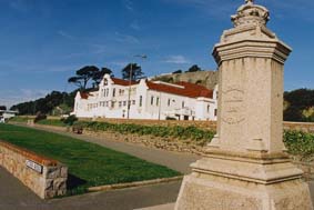
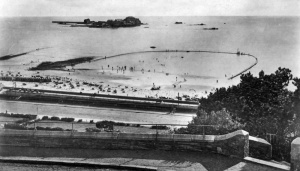
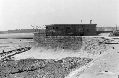
The Victorian sea pool, recently restored

The pool and bathing huts

West Park Pool in 1937

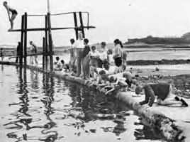
Edwardian children playing at West Park pool

The pool on an Allix postcard

The view from the sea

A DUKW arrives at West Park from Elizabeth Castle

1933 aerial photograph by Aerofilms

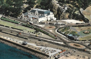
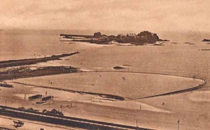
The pool with Elizabeth Castle behind

A row of bathing huts in front of the pool

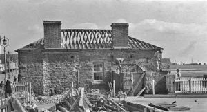
Repairs to the pool

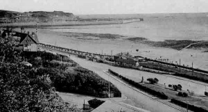
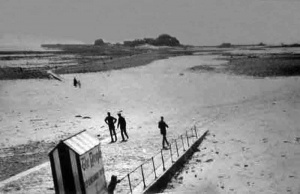
The slipway in the 1920s

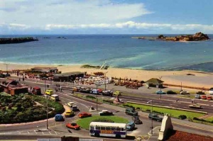
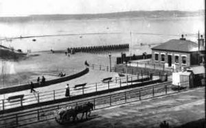
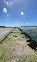
Victoria Marine Lake

Looking down from Westmount in 1978

1906

West Park Cafe staff

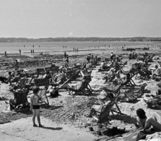
PT on the beach in 1950

The old slipway kiosk

Slipway kiosk

Ice cream sales on the beach

Looking down on the pool from Westmount

Lamp posts decorated for the 1978 visit of the Queen and Prince Philip

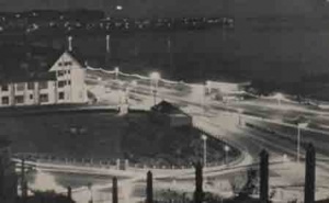
1976, and traffic is still allowed to turn on to Victoria Avenue from St Aubin's Road

Photograph by Albert Smith


.png)


These pictures of West Park during the German Occupation come from an official German army collection. For the full set of pictures of German installations across the whole of the island, follow this link

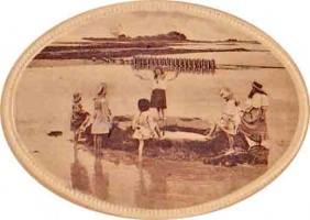
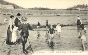
Gathering sea water at West Park


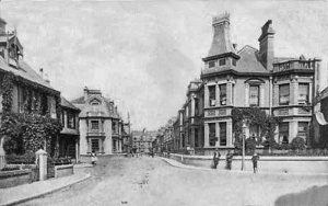
West Park Avenue

West Park Avenue
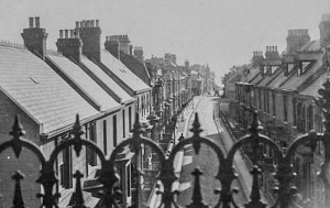

Diadem Villas


